Apps & Tools
11 resources
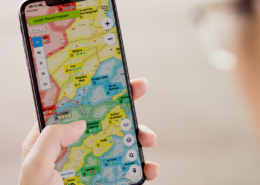
Burnair
Burnair
Swiss-made paragliding weather and airspace app — thermal forecasts, wind overlays, and live flight tracking built specifically for free flight pilots.
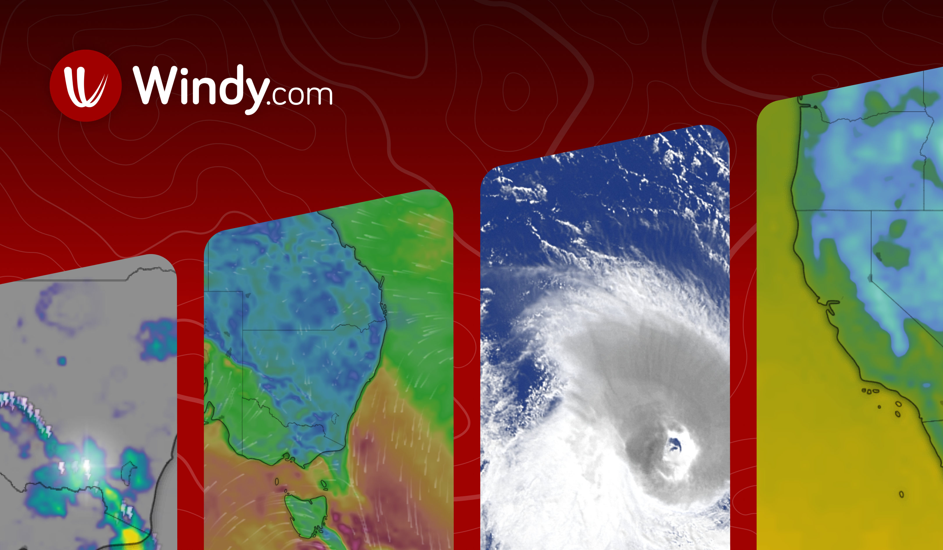 Free
FreeWindy.com
Windy
The best general weather tool for pilots. Visualize wind layers, thermals, precipitation, and forecasts across multiple models.
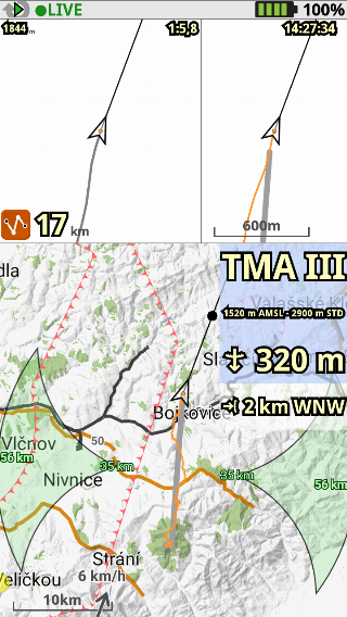 Free
FreeXCTrack
XCTrack
Free Android flight computer for navigation, waypoints, airspace alerts, and live tracking during XC and race flying.

Flyskyhy
Flyskyhy
iOS flight tracking and airspace alert app — variometer, GPS logging, live tracking, and airspace warnings.
 Free
FreeXC Skies
XC Skies
Thermal and XC-specific weather forecast tool. Shows cloud base, thermal strength, and glide ratios for cross-country planning.
 Free
FreeMeteoBlue
MeteoBlue
Detailed mountain weather forecasting used by professional athletes — CAPE index, wind shear, and multi-day mountain forecasts.
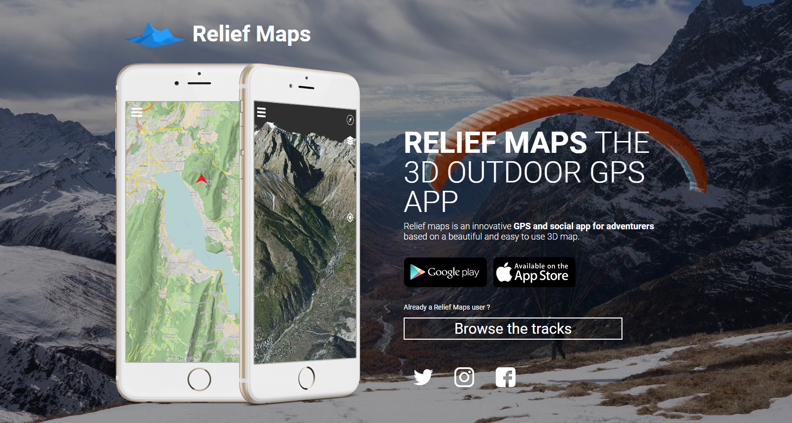
Relief Maps
Relief Maps
Beautiful 3D terrain visualization app — plan routes on photorealistic topography with elevation profiles and shading.

OsmAnd
OsmAnd Maps
Powerful open-source offline navigation app. Download full country maps, record tracks, and navigate without mobile signal in remote terrain.

Naviter
SeeYou Navigator
Advanced navigation app for paragliding and hang gliding — airspace, waypoints, task flying, and live tracking used by competition pilots worldwide.
Fatmap
Fatmap / Strava
3D outdoor map platform for route planning — view terrain in detail, find established hike and fly routes, and track fitness.
 Free
FreeKomoot
Komoot
Hike and trail planning with detailed surface and elevation data. Useful for planning the hike-up portion of a mission.